
Insights & Solutions
Tailored Solutions for Our Communities
To build good bike paths, we must understand each community. This section shares what we learned about Herrin, Murphysboro, and the Tri-C Area. It also shows the bike path ideas designed for their unique needs.
Understanding Our Communities: Your Voice Matters
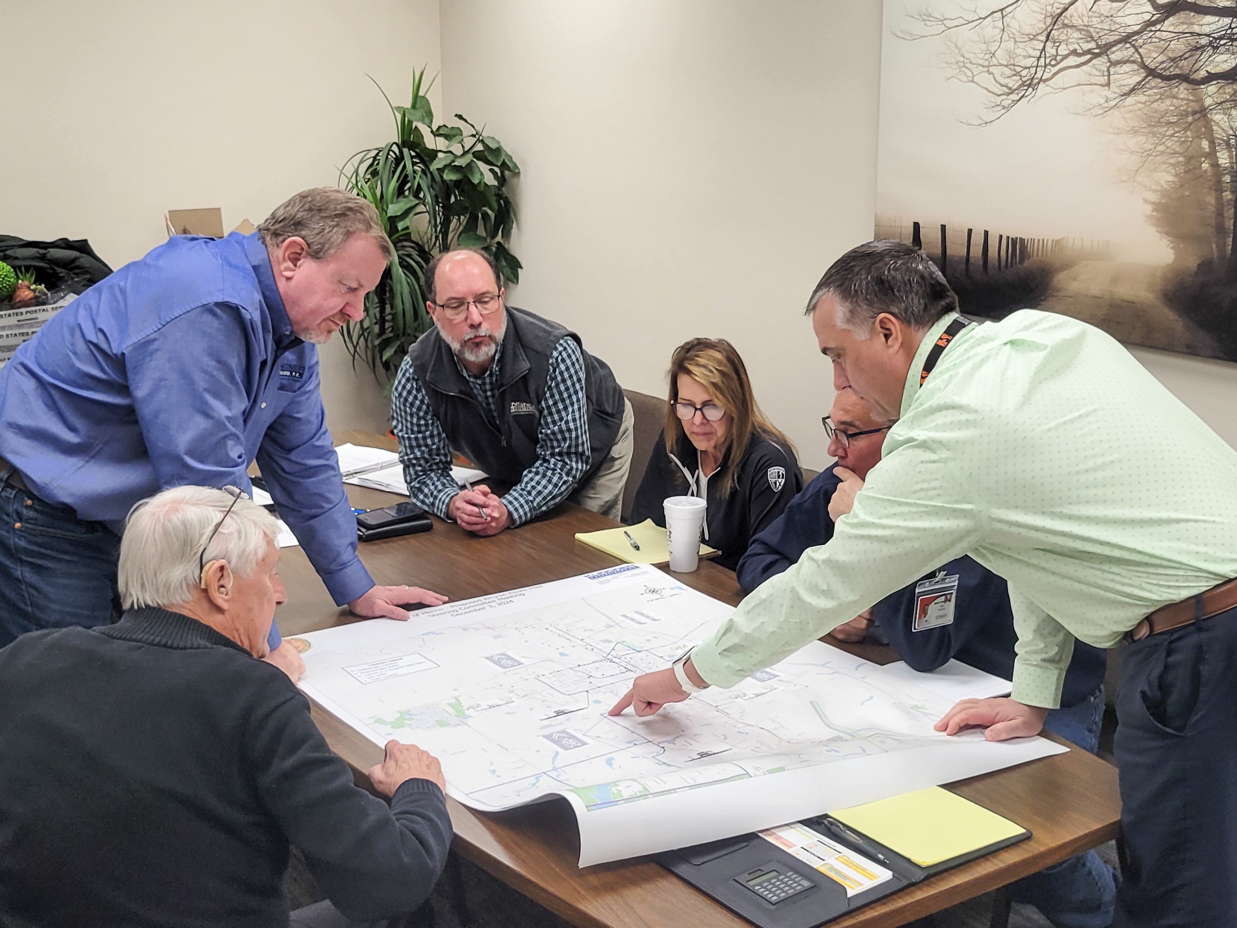
Our planning starts by looking closely at Herrin, Murphysboro, and the Tri-C Area. We believe good bike plans come from local ideas and careful study. We gather information from surveys and public meetings. We hear about current road conditions, favorite routes, and safety needs. This information, along with our study of existing roads, helps us create custom plans.
We ask both general questions and specific questions for each town. This helps us see big trends and unique local issues. This way, we get useful ideas to make truly custom and effective bike plans.
Common Questions from Our Surveys
We asked everyone in the Tri-C area, Herrin, and Murphysboro some common questions. This helped us find shared ideas for biking in our region. Here are some examples:
"How often do you bike for fun or to get around?"
"What stops you from biking more often?"
"What types of bike paths (like separate lanes or shared paths) would make you feel safer?"
"What places (like parks or schools) would you like to reach by bike?"
"Why do you bike (for health, environment, work, fun)?"
Herrin:
Connecting Our City
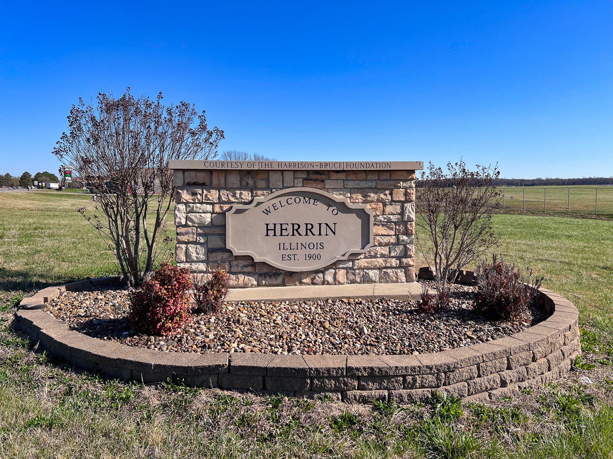
For Herrin, we focused on local needs. People told us it's important to link new bike paths with City places and address safety concerns. We are making detailed maps of routes based on your ideas.
Herrin is home to Memorial Park, a beautiful spot with a long walking trail, playgrounds, a skate park, and a dog park. It even has a water feature and a bridge. The plan proposes connecting areas like Herrin High School, Herrin Elementary School, the Bocce Ball / Civic Center Area, and Downtown Herrin (Park Avenue / Route 148). We also want to link to the Crab Orchard Greenways.
Specific Questions for Herrin:
"How would you rate your bicycling comfort level?"
"What is your overall level of support for bicycle facilities?"
"Please rate the following locations / routes in terms of your priority (1=low, 5=high): Memorial Park Area, Herrin High School, Herrin Elementary School, Bocce Ball / Civic Center Area, Downtown Herrin (Park Avenue / Route 148), Connectors to Crab Orchard Greenways, Other."
Murphysboro:
Lakes, Trails & Downtown
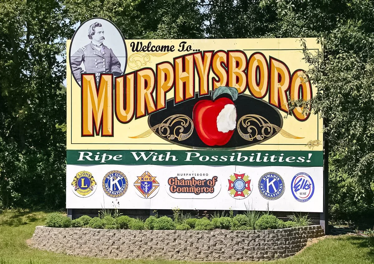
In Murphysboro, we're focused on making biking safer, especially to places like Lake Murphysboro and Lake Kinkaid. We're looking at different path types, like shoulders or separate paths, to make it safe and easy to reach these fun spots. Your ideas help us choose routes that are good for both fun and daily travel.
Murphysboro is known for Riverside Park, a 42-acre park with winding trails and river views, a bandshell, playground, and baseball field. The Big Muddy Multiuse Trail is a 10-mile gravel road perfect for wildlife viewing and leads to fishing spots and campsites. We're also considering connections to Carruthers Elementary School, Murphysboro Middle School, the US Bicycle Route System Trail (USBR 76), and Downtown Murphysboro.
Specific Questions for Murphysboro:
"How would you rate your bicycling comfort level?"
"What is your overall level of support for bicycle facilities?"
"Please rate the following locations/routes in terms of your priority (1=low, 5=high): Riverside Park, Big Muddy Multiuse Trail (proposed trail from Riverside Park to Route 13), Lake Murphysboro, Carruthers Elementary School, Murphysboro Middle School, Accommodate US Bicycle Route System Trail (USBR 76), Downtown Murphysboro, Other."
Tri-C Area:
Linking Our Towns
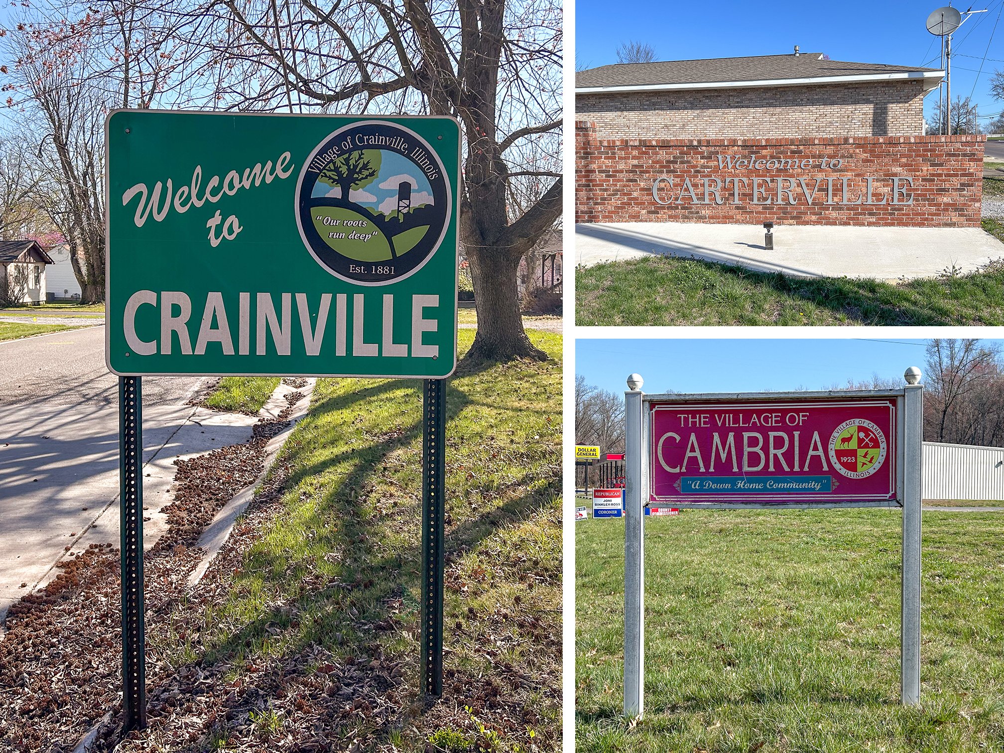
The Tri-C Area, comprising Cambria, Carterville, and Crainville, is a great place to connect bike paths. Our study aims to create a smooth network that links these towns. This will improve local travel and regional connections. Your feedback helps us find key routes and prioritize improvements for all three towns.
Crainville is centrally located on Route 13, near Southern Illinois University and John A. Logan Community College. The area offers scenic lakes, the Crab Orchard National Wildlife Refuge, and the Shawnee Hills Wine Trail. We're looking at connecting places like Cannon Park / Carterville Community Center, Tri-C Highschool & Elementary School, Cambria Downtown / City Park, Crainville Main Street, and Carterville Downtown. We also want to create an East-West Connector linking Cambria, Carterville, Crainville, and Herrin.
Specific Questions for the Tri-C Area:
"How would you rate your bicycling comfort level?"
"What is your overall level of support for bicycle facilities?"
"Please rate the following locations/routes in terms of your priority (1=low, 5=high): Cannon Park / Carterville Community Center, Tri-C Highschool & Elementary School, Cambria Downtown / City Park, Crainville Main Street (Connector to Municipal Drive Paths), Carterville Downtown (on Division to Commerce Drive Paths), JALC/Connector to Division Street / Commerce Drive Paths, Logan Park Connector (Fleming Road to Park Avenue / Route 148), East-West Connector: Cambria - Carterville - Crainville - Herrin, Other Locations."
Infrastructure & Design: Safe Paths for All
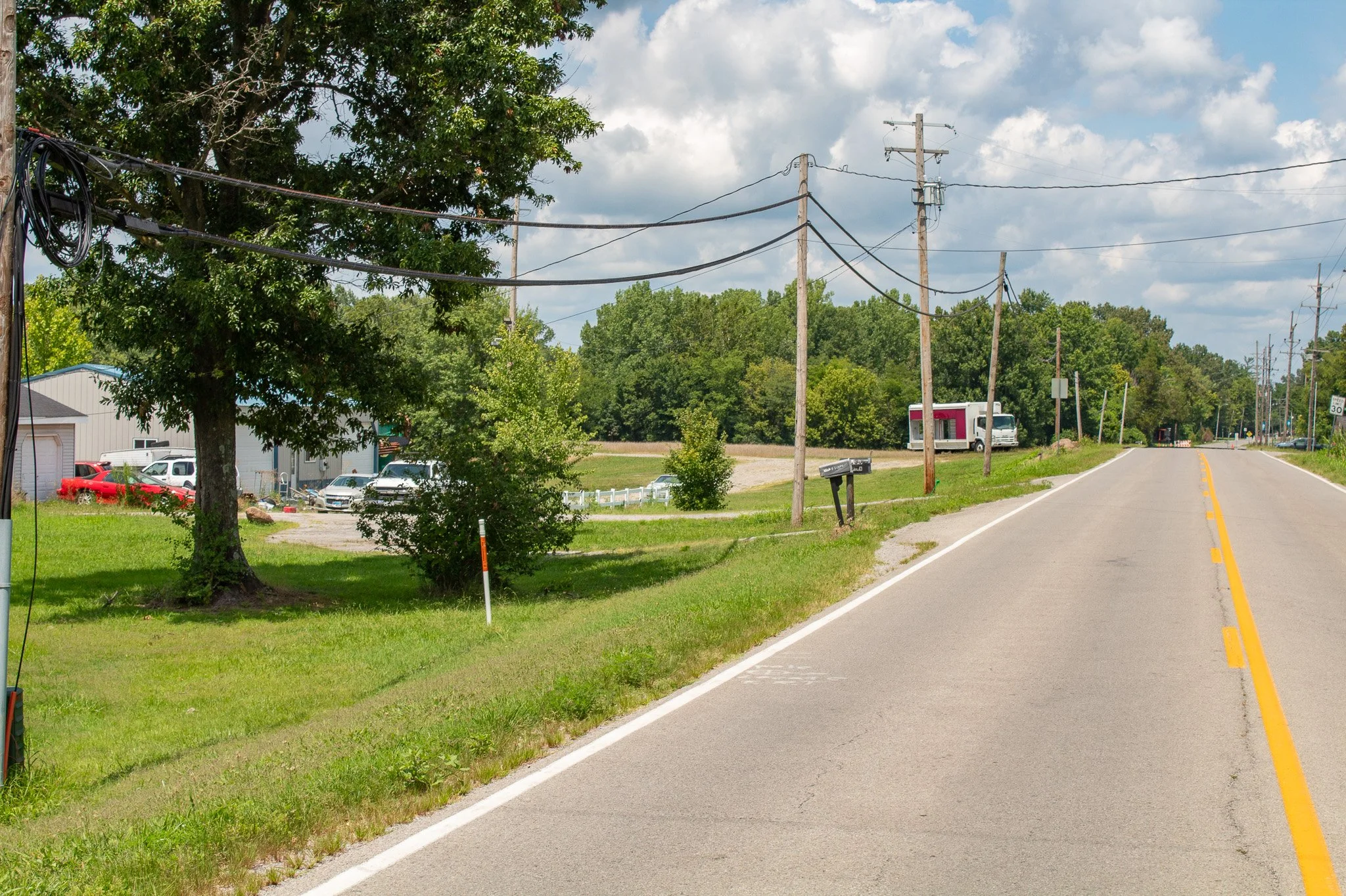
Good bike plans need the right paths. Our team looks at existing roads, traffic, and what users need. We suggest bike path types that are safe, comfortable, and easy to use for everyone. We look at many options, from separate paths to marked lanes. We make sure each part of the network works best for its location.
We choose different path types based on traffic and land use. This increases path safety and usability in both rural and town areas. Our goal: paths that work for all riders, from families to experienced cyclists.
Understanding Bikeway Types
We consider many types of bike paths. Each one fits different places and user needs:
-
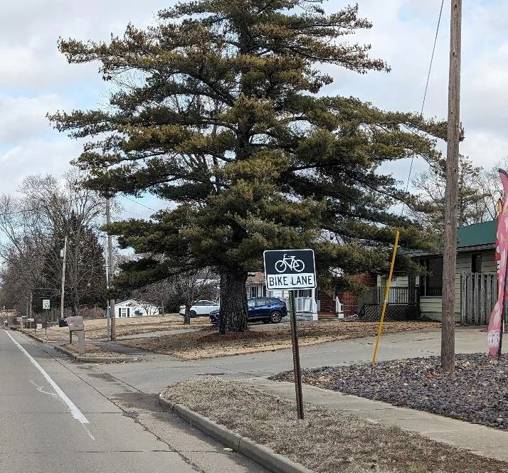
Bike Lane
A bike lane consists of a route that is marked by signs and on-road striping, and is at least five feet in width from the edge to the curb to the painted line. May also contain a stamped bicycle symbol.
Example: 42nd St., Mt. Vernon, IL
-
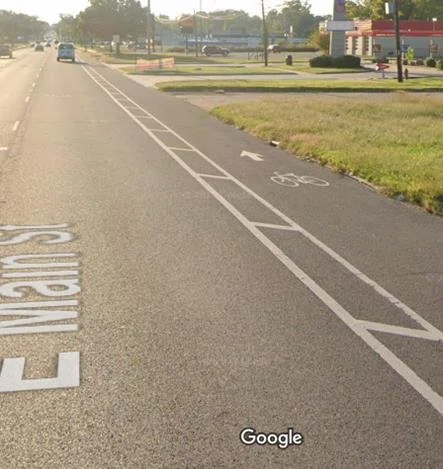
Buffered Bike Lane
A buffered bike lane consists of a signed route that is also marked by a lane line with a lane at least 5 feet in width and a buffered line at least 2 feet in width. May also contain a stamped bicycle symbol.
Example: E Main St./Route 13, Carbondale, IL
-
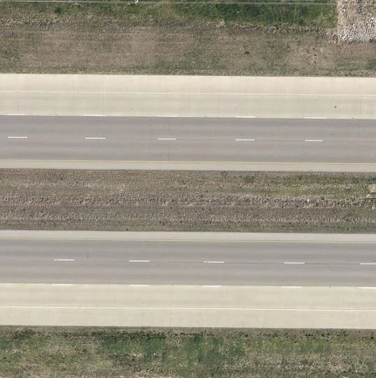
Paved Shoulder
Paved shoulders are most commonly found on State (IDOT) maintained roads. They consist of a paved shoulder lane marked with a solid line and are at least 5 feet in width; usually 10 feet or more in width. Paved shoulders may or may not also be stamped with a bicycle symbol. They are not marked with signs.
Paved shoulders are often on high speed roads and may taper off at intersections.
Example: IL-13 in Marion
-
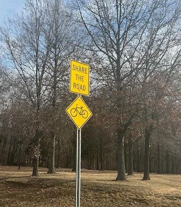
Shared Lane
Shared lanes are marked by bike route signs but there are no distinct lanes for riding. Cyclists share the road with vehicular traffic. Speed limits and road conditions may vary. Other shared lanes include official national or regional bike routes (U.S. Bike Routes (USBR) or Mississippi River Trail (MRT); signage may vary along these routes but detailed information is available from sponsor websites- which can be found by clicking on any of the route segments in the map.
Example: N 42nd St, Mt. Vernon IL
-
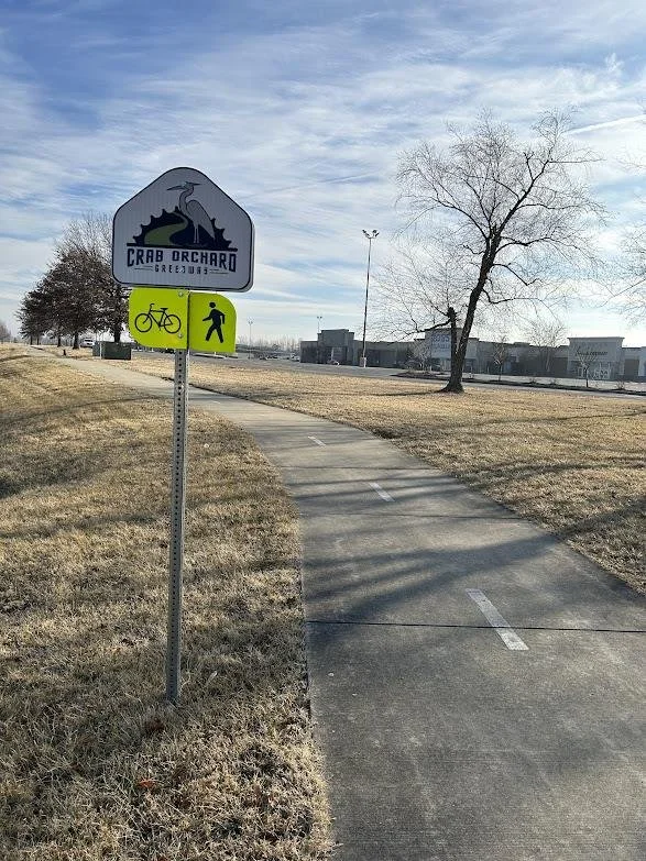
Shared Use Path
A shared use path is a paved trail at least 10 feet in width and is physically separated from roadways. Shared use paths are for bicycles, walkers and joggers, wheelchairs and motorized scooters, and any other mode of active transportation.
Example: Crab Orchard Greenway
-
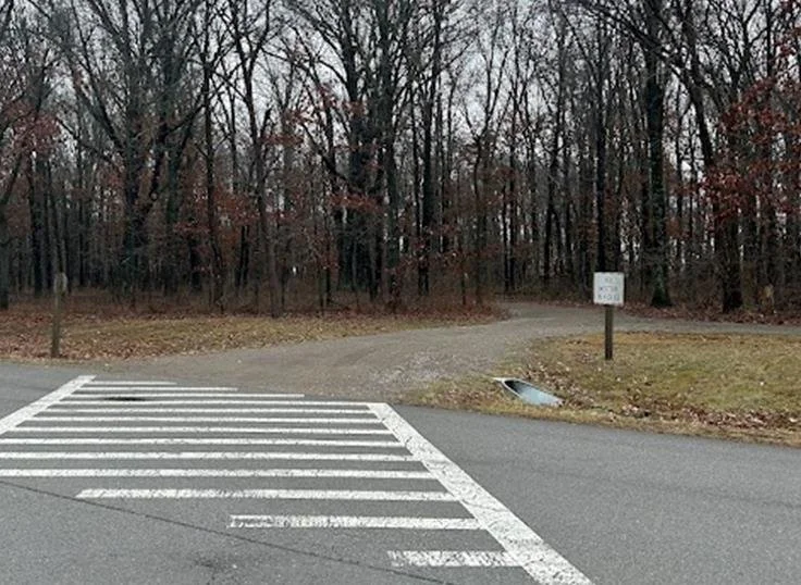
Off-road Unpaved Trail
Off-road unpaved trails are similar to shared use paths but they are typically surfaced with gravel instead of pavement. Most of these facilities are converted rails to trails. These trails are typically 8 to 10 feet in width with wide turns and no steep hills. Designed for all active transportation user types.
Example: Wayne Fitzgerrell Trail, Rend Lake area
-
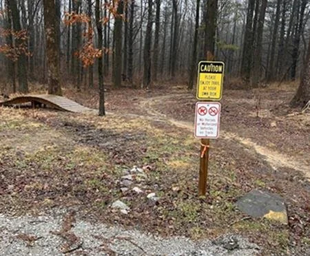
Mountain Bike Trail
Mountain bike trails are also off-road unpaved trails, but are typically narrower and may contain technical terrain features such as steep hills, jumps, rocks, and bridges. The surface of mountain bike trails is typically packed dirt, but it may be gravel or other material.
Example: Touch of Nature Trails, Makanda IL
-
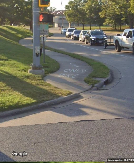
Other Facility
Any other bicycle facility that does not fit into the above categories.
Example: East Grand Ave in Carbondale, IL -a separated off-road paved trail that is designated for bicycles only
Prioritizing Safety & Connectivity
Safety is our top concern. We use strict rules to increase path safety and connectivity. We look at how comfortable biking is on roads, traffic levels, and crash reports. Our main goal is to prevent injuries and make everyone comfortable, from new riders to experienced cyclists.